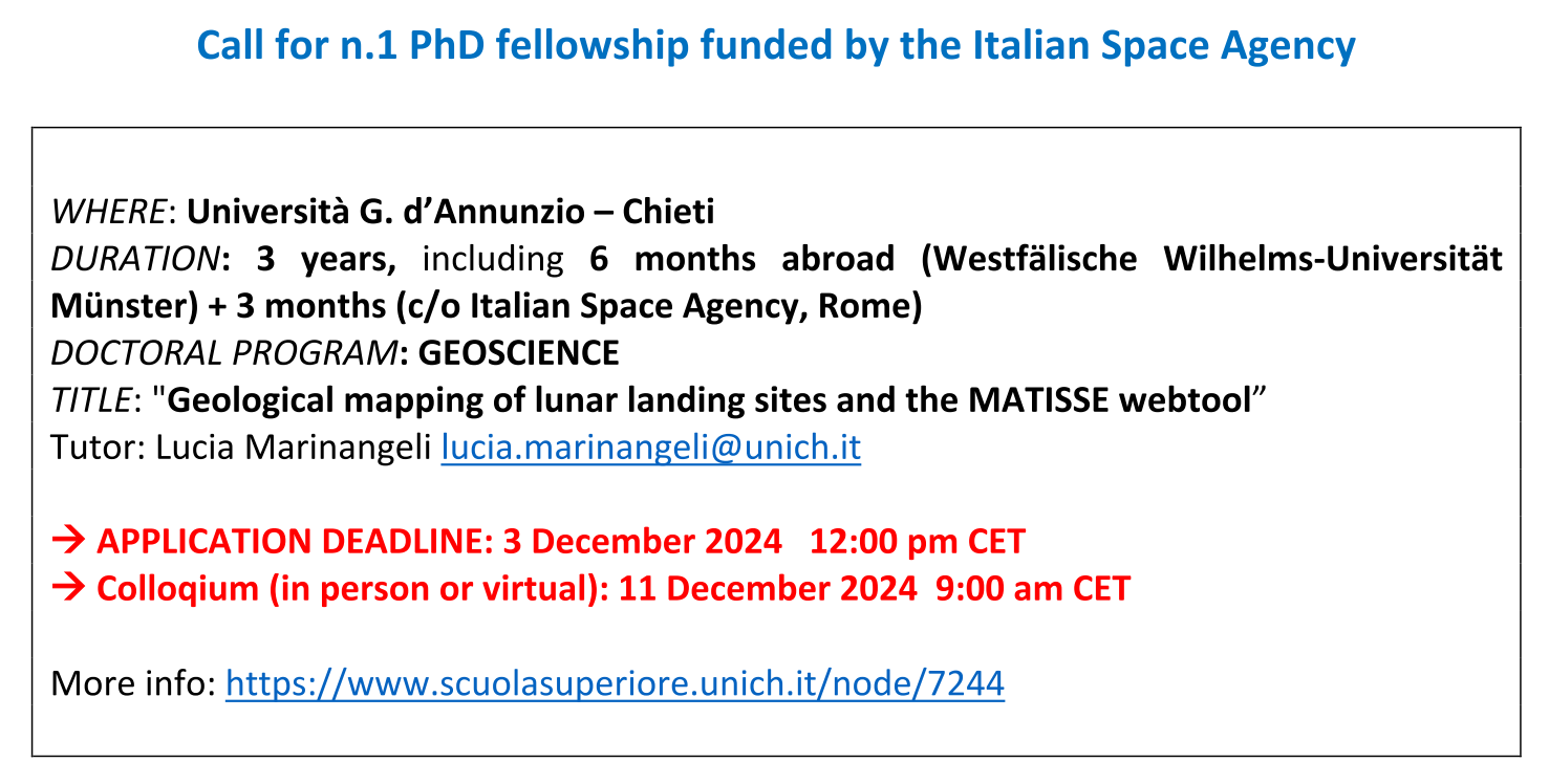
More info: https://www.scuolasuperiore.unich.it/node/7244
OBJECTIVES:
With the ARTEMIS exploration program bringing a new human crew to the lunar surface in 2026 as the first phase for the construction of a permanent human base, preparatory activities for the study of landing sites by combining multi-sensor data of different resolution and scale are fundamental for defining potential in situ resource utilization (ISRU). With this project we want to propose an integrated approach for data analysis aimed at detailed geological analysis for the definition and valorization of in situ resources for the ISRU through the production of a geological cartography with standardization of the units that allows the definition of guidelines for the characterization of the new landing sites planned in the south pole of the Moon.
Currently, thanks to the availability of better spatial resolution orbital data together with remote spectral data to determine the composition of the surface material, it has been possible to review the geological interpretation of the Apollo landing sites [1-4] providing new details on the stratigraphic evolution of rock units and their correlation with samples brought to Earth. Preliminary work on geological mapping applied to the ISRU [5] highlighted the potential of the Apollo 17 site thanks to the geological diversity and the type of rocks that can allow the successful extraction of hydrogen and methane.
For this reason, the research activities will focus on the Apollo 17 site following the cartographic approach of [1-4] adding both a morphological and stratigraphic study deriving from the photographic repertoire acquired by the astronauts, and the compositional information of the rock samples and soil brought to Earth and available in the NASA Curation Office archive.
Based on the study and the geothematic maps that will be produced, analyzes will be carried out on the potential of the mapped material for the ISRU. The integrated approach of different types of data (multimission - multisensor - multispectral) for detailed and standardized geological cartography is fundamental for future studies of lunar landing sites. The data will be processed and/or calibrated and then inserted into a GIS system for the analysis and creation of digital maps. This modus operandi will constitute a model that can be replicated in other sites.
The PhD student will spend 6-months abroad working at the Institut für Planetologie, Westfälische Wilhelms-Universität in Münster (tutor C. van der Bogert) to familiarize with the lunar dataset and cartographic methods. This institute in Münster has a long experience on geological mapping of the Moon. In the final part of the project the student will work at the ASI-SSDC to upload the produced maps into the MATISSE online tool to make it accessible to the scientific community. MATISSE is the ASI-SSDC webtool dedicated to Solar System exploration missions, capable of showing the results both in classic two-dimensional visualizations, showing the data projected directly onto the three-dimensional shape of the selected target. In particular, this activity will be
integrated into the current development of the tool aimed at planetary geology, expanding the possibility of searching for data also on the basis of advanced information available from geological maps.
In summary, the activities to be carried out will be:
1. bibliographic research and review of available geological maps - 3 months
2. selection of the areas of interest to analyze in detail, data processing and project
preparation in the GIS environment of the study area – 6 months
3. period abroad to acquire knowledge of lunar geological cartography – 6 months
4. cartography of the chosen sites – 12 months
5. definition of guidelines for the classification of geological units and potential values
for the ISRU - 3 months
6. data entry in MATISSE - 3 months
7. thesis writing – 3 months
More info: https://www.scuolasuperiore.unich.it/node/7244
Bibliographic references:
[1] Iqbal W. et al. (2019) Geological mapping and chronology of lunar landing sites: Apollo 11, Icarus,
Volume 333, Pages 528-547
[2] Iqbal W. et al. (2020) Geological mapping and chronology of lunar landing sites: Apollo 12, Icarus,
Volume 352
[3] Iqbal W. et al. (2023) Geological mapping and chronology of lunar landing sites: Apollo 14, Icarus,
Volume 406
[4] Iqbal W. et al. (2024) New geological maps of Apollo 15 and Apollo 17 landing sites, LPSC, #1010
[5] van der Bogert et al. (2021) Science-rich Sites for In Situ Resource Utilization Characterization and End- to-end Demonstration Missions, Planet. Sci. J., 2 84


